
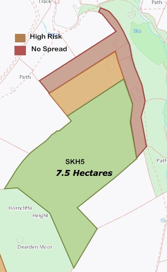
With the use of GPS mapping, it gives us the edge over other contractors. We can accurately map out your fields by taking such things as rivers, streams, pylons, hedges etc into account and ensuring that every part of your land receives the nutrients it needs in order to maximise your yields. Then, by using our soil sample analysis we can transfer this into our display for spreading and produce prescription maps based on our soil analysis and vary the rate of lime application to the right area.
AGRONOMY
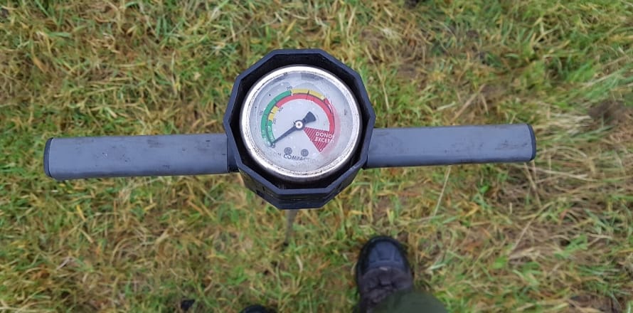
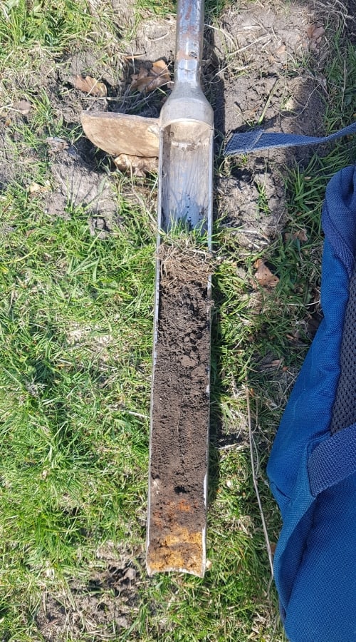
Linked with our lime spreading and waste to land activities we offer agronomy services, soil sampling for both nutrients and regulatory requirements, soil profile and compaction surveys; GPS linked for mapping accuracy and on-farm soil pH testing for lime recommendation’s.
We can also provide risk maps for manure and fertiliser applications on both field and farm level using our survey data.
GPS FARM MAPPING
Use the latest technology to maximise your return on investment.

SOIL SAMPLING
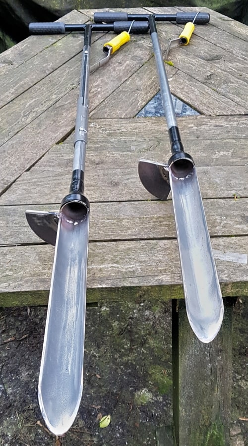
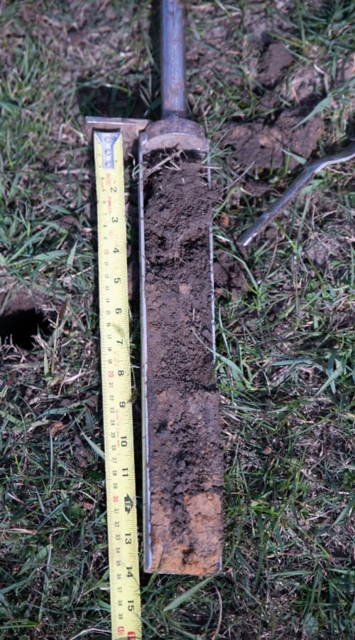
Soil testing is the single most important guide to unlocking your lands potential by determining the nutrient content and composition.
The key reasons for this are as follows:
- To determine the acidity or Ph level of your soil.
- As a guide how to profitably use fertilizers and lime on your land.
- To increase crop yields.
- To produce higher quality crops.
SAMPLE TECHNIQUE
24 Hour Emergency Line
07747 188040
Head Office
Bury, Lancs
Email Support
info@parkhouseservices.co.uk